Earth observation and geospatial intelligence for environmental decisions
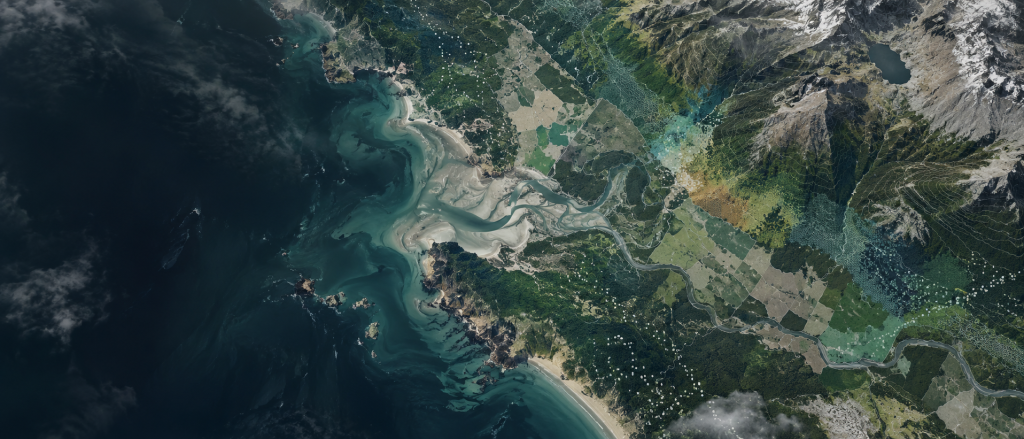
We combine satellite, UAV and spatial data with geospatial analysis to support environmental monitoring, natural-resource management and complex spatial decision-making. Our work spans Earth observation, environmental intelligence and bespoke analytical workflows.

Specialist Earth observation and geospatial capability
When the dataset does not exist, build one.
Earth observation
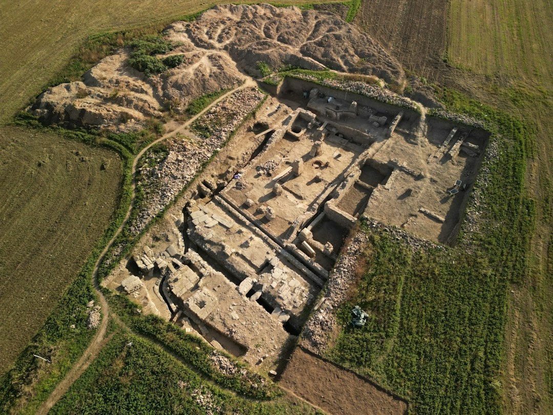
Satellite and UAV data for observing environmental conditions and change across scales.
Geospatial analysis
Spatial modelling, classification and analytical workflows tailored to the problem.
Environmental intelligence
Analysis grounded in coastal, terrestrial and human-modified environments.
Synthetic & purpose-built datasets
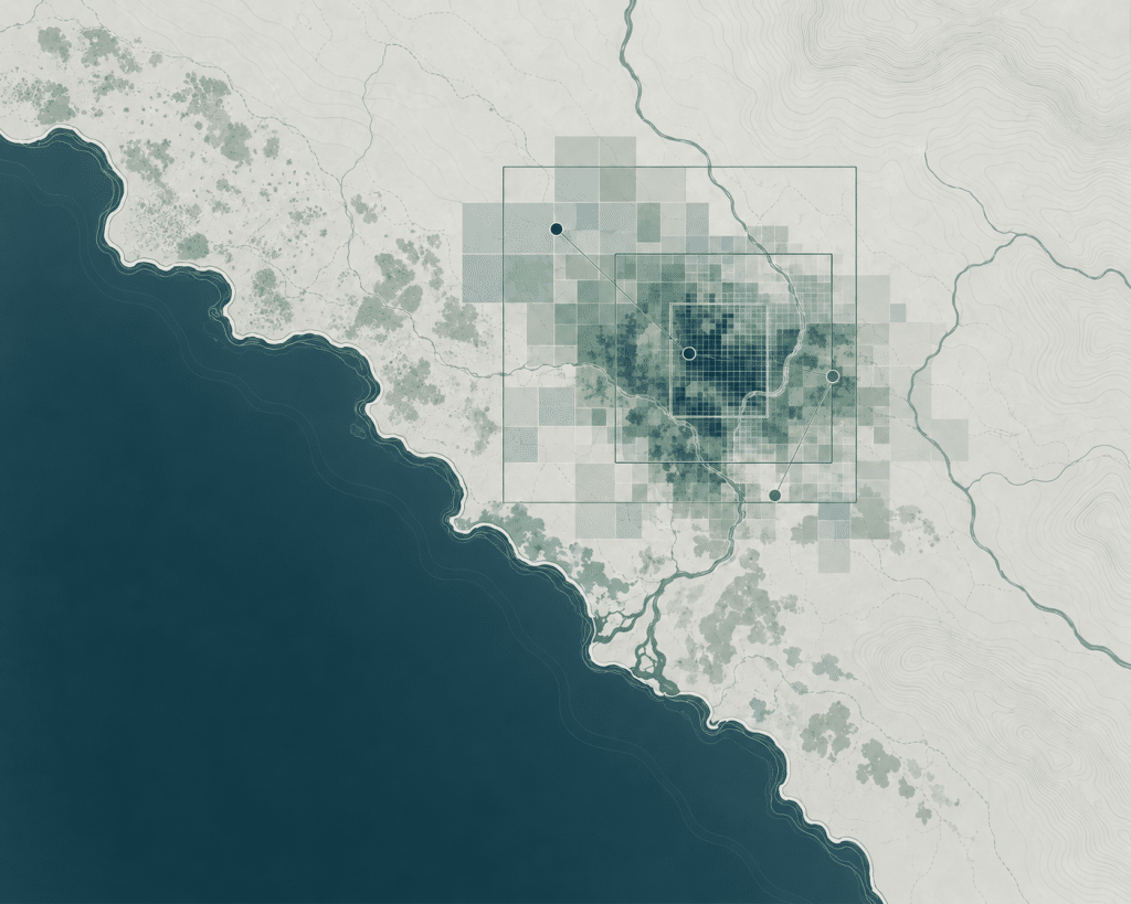
Custom geospatial datasets for model development, testing and analysis when suitable source data are unavailable.
