Applied geospatial R&D
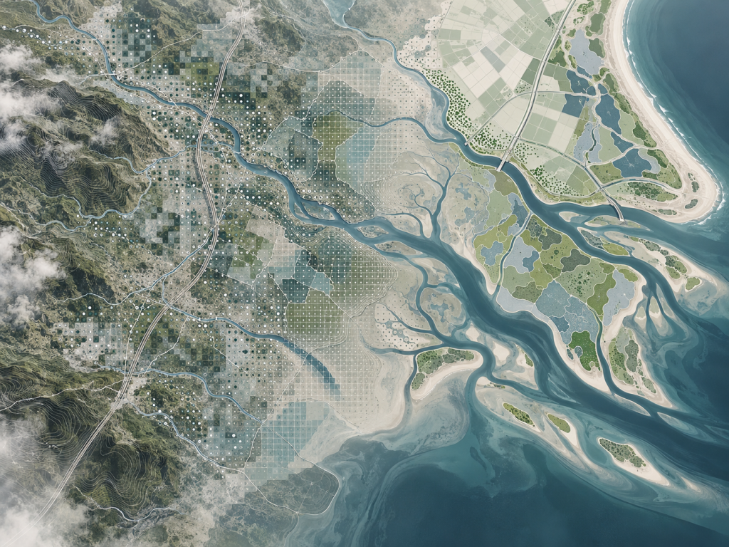
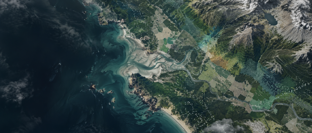
Agrionica develops and tests geospatial methods, analytical workflows and data products for environmental monitoring and spatial decision-making. Our work focuses on technically difficult problems where standard datasets or off-the-shelf approaches are not enough.
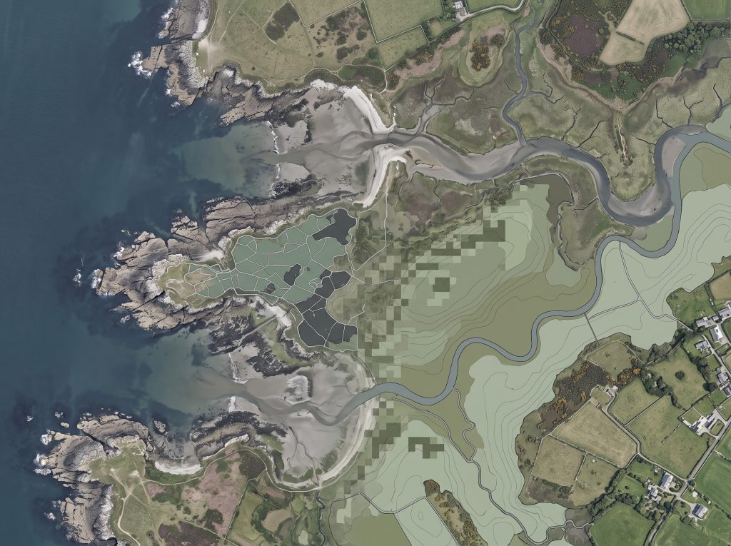
Synthetic & purpose-built geospatial data
Develop realistic geospatial datasets for model development, testing and validation when suitable training or analytical data do not exist.
Earth observation for environmental change
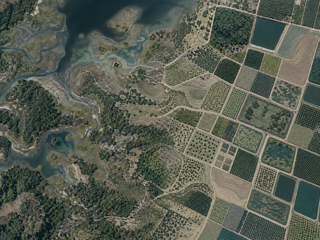
Use satellite and spatial data to detect, characterise and monitor changes across coastal, terrestrial and human-modified environments.
Spatial AI & analytical workflows
Build reusable geospatial processing, classification and modelling workflows for complex environmental and spatial problems.